Examplecode for GPS functionality on the QW-GPS-DEVKIT.
Fork of HelloWorld - QW Development kit by
Firmware
This program starts the GPS on the TD1204 in continuous navigating mode using the following AT-command:
AT$GPS=1,16,0,65535,1,1
A timer sends the latests gps fix every 30 seconds or 10 minutes to the SIGFOX backend using the following command:
AT$GSND
LED3 burns if a 30 second interval is set. LED4 burns if a 10 minute interval is set. Switching between intervals can be done using button 1.
Button 2 instantly sends the latests fix to the SIGFOX cloud.
Settings in the SIGFOX backend
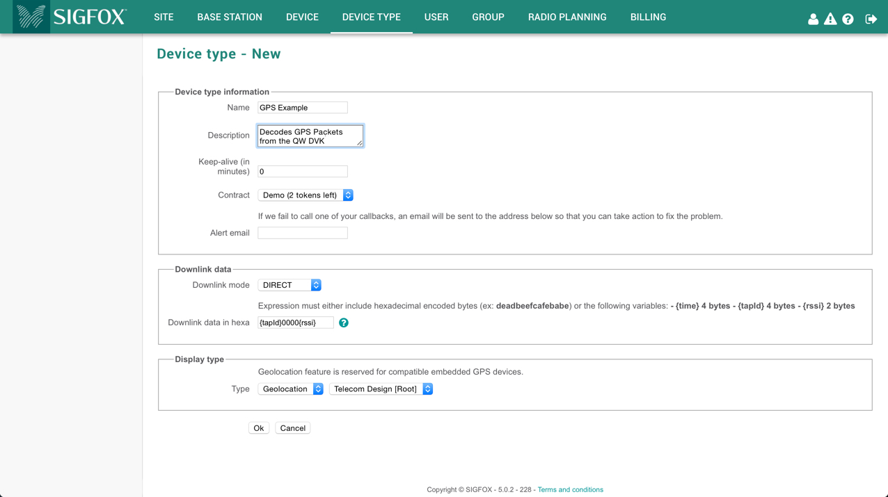
Create a new device-type and set display typte to Geolocation > Telecom Design.

Assign your development kit to this device-type and the decoding will happen automatically:

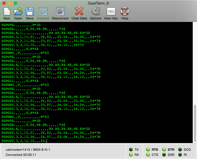
Data if no GPS fix was found!
Note: The data looks like this if your device didn't get a valid fix before the transmission of a SIGFOX packet.

You can follow the NMEA messages of the GPS if you open up a terminal and connect to the virtual com-port of the QW shield. More info about NMEA messages can be found HERE.

GPS data is displayed in different message formats over a serial interface. There are standard and non-standard (proprietary) message formats. Nearly all GPS receivers output NMEA data. The NMEA standard is formatted in lines of data called sentences. Each sentence contains various bits of data organized in comma delimited format (i.e. data separated by commas). Here’s example NMEA sentences from a GPS receiver with satellite lock (4+ satellites, accurate position):
$GPRMC,235316.000,A,4003.9040,N,10512.5792,W,0.09,144.75,141112,,*19
$GPGGA,235317.000,4003.9039,N,10512.5793,W,1,08,1.6,1577.9,M,-20.7,M,,0000*5F
$GPGSA,A,3,22,18,21,06,03,09,24,15,,,,,2.5,1.6,1.9*3E
For example, the GPGGA sentence above contains the following:
- Time: 235317.000 is 23:53 and 17.000 seconds in Greenwich mean time
- Longitude: 4003.9040,N is latitude in degrees.decimal minutes, north
- Latitude: 10512.5792,W is longitude in degrees.decimal minutes, west
- Number of satellites seen: 08
- Altitude: 1577 meters
Note, every 30 seconds an "OK" will appear after sending the SIGFOX message.
More information about the NMEA sentences coming from the TD1204 can be found in the following datasheet of the u-blox 7 series: Link.
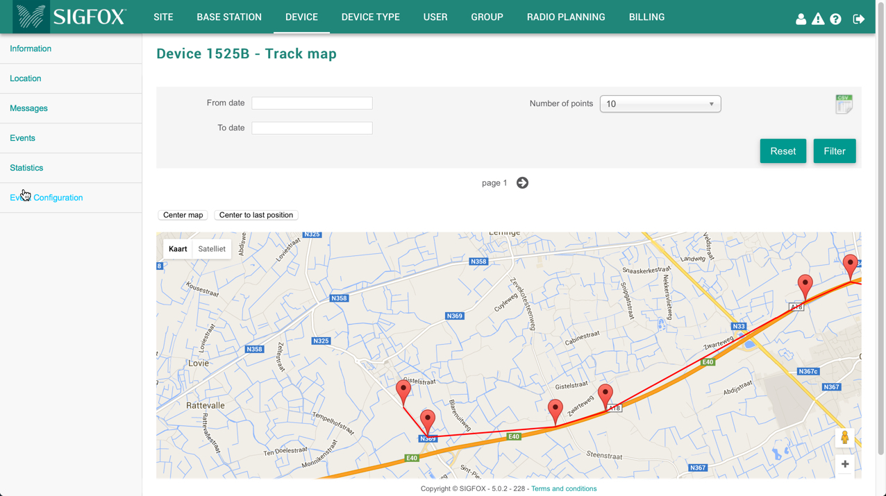
You can even open up a track of your device:


